nikahnama
Nusantara - Vintage Ottoman Map - 8" x 10" - Art Print
Nusantara - Vintage Ottoman Map - 8" x 10" - Art Print
Couldn't load pickup availability
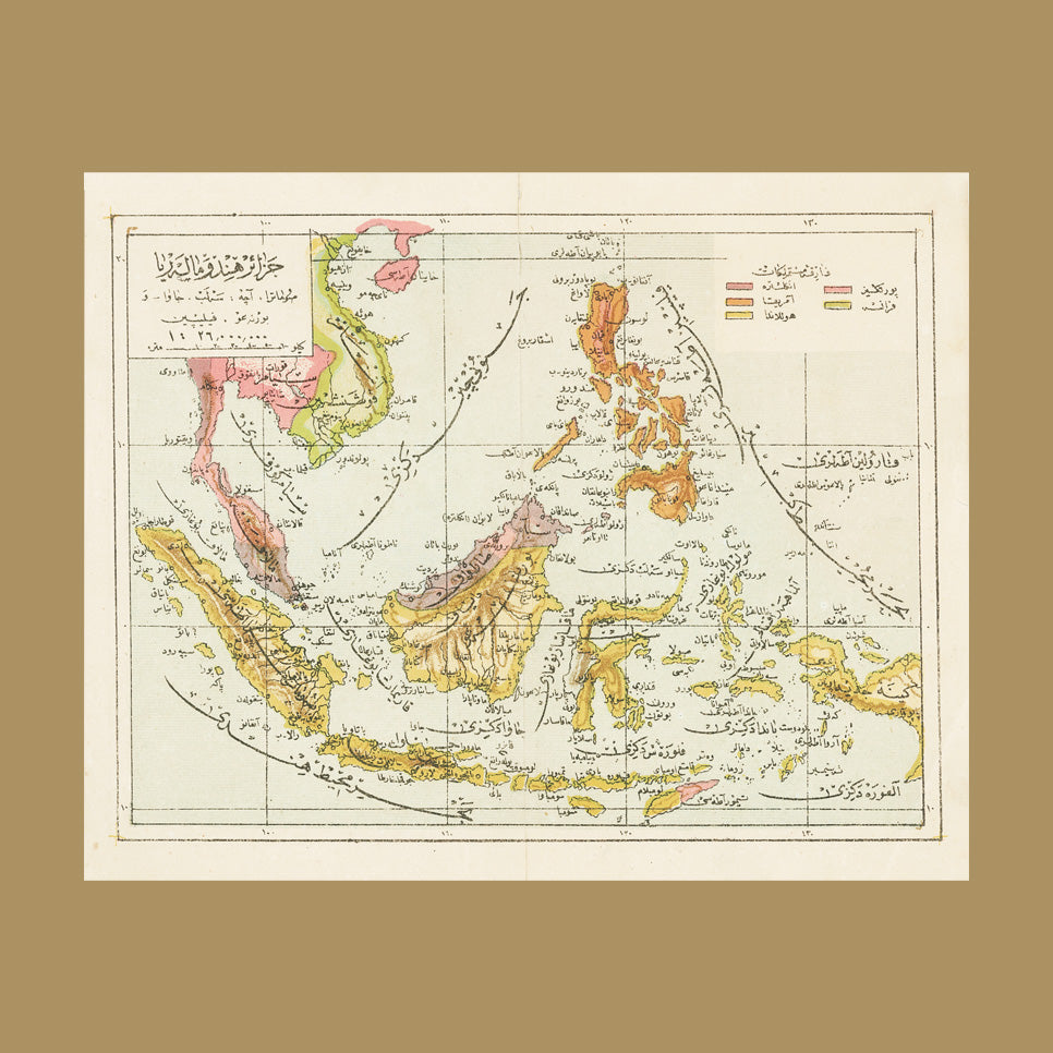
Discover Nusantara through the eyes of our rich Muslim heritage with this captivating Ottoman map.
More than just geography, this map reflects how the Ottoman and wider Muslim world understood and named the faraway islands and ports of Nusantara — a region seen as both a crossroads of trade and a frontier of the Ummah. It invites us to glimpse how Muslims once imagined the eastern edge of the world, blending curiosity, scholarship, and faith into their cartography.
Perfect for a child’s room or home library, this enchanting piece is sure to pique curiosity about how Muslims viewed and described Nusantara. Embrace a refreshing perspective of the world through history’s lens.
Dimensions: 8" x 10" / 20.32 cm x 25.4 cm
Framing: Easy to frame in a ready-made 8" x 10" frame — no custom framing required.
Paper: Acid-Free Archival Quality Paper
This map is custom printed, so please allow 2–3 weeks for delivery unless expedited.
Share